
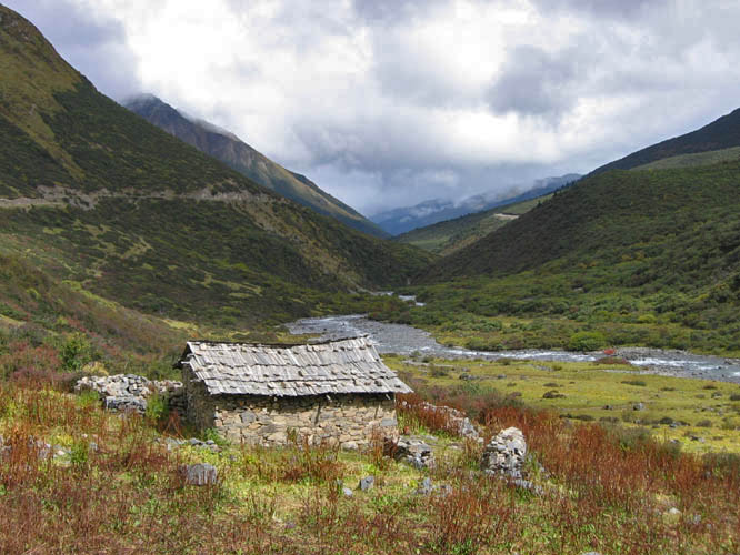
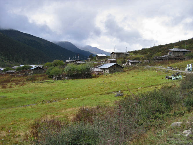
A small village on the way to Tsari.
Near the town of Chusum, while hitch hiking to Southeastern Tibet.
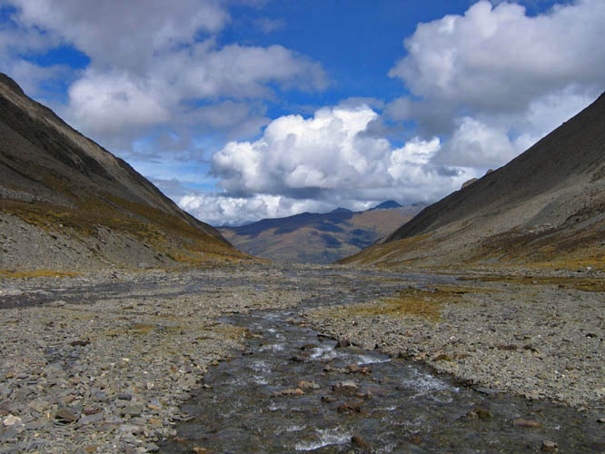
Once I got near the Tsari area I had to hike over a 17,400 ft
(5300m) pass in order to get into the region.
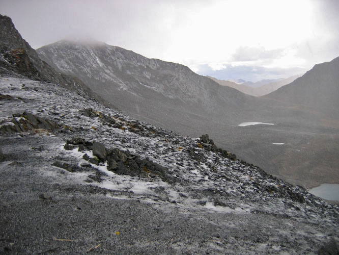
It was 2 days of walking to cross the pass and by the time I
got to the top, I was hit with a small snow and ice storm.
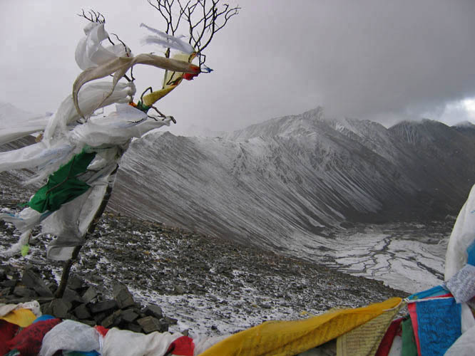
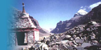
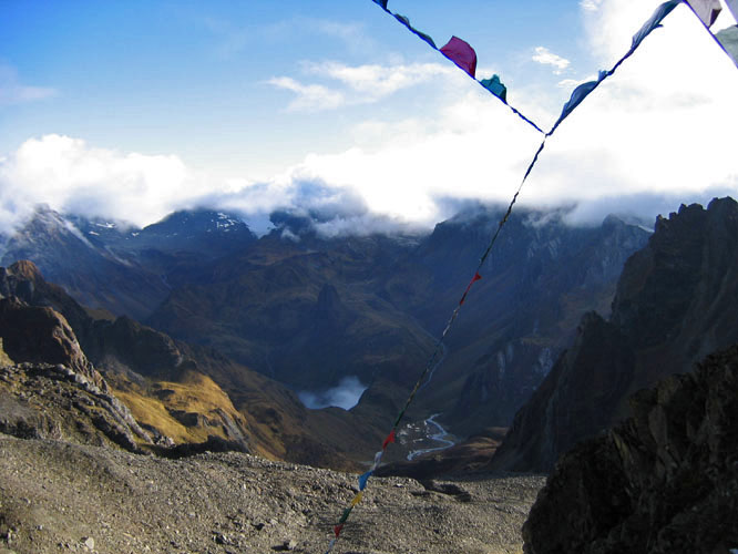
Prayer flags are always found at the tops of Tibetan mountain
passes.
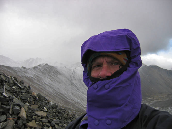
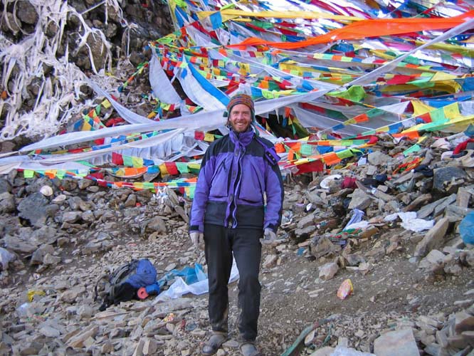
Ray trying to stay warm at 17,000 ft in a snow storm.
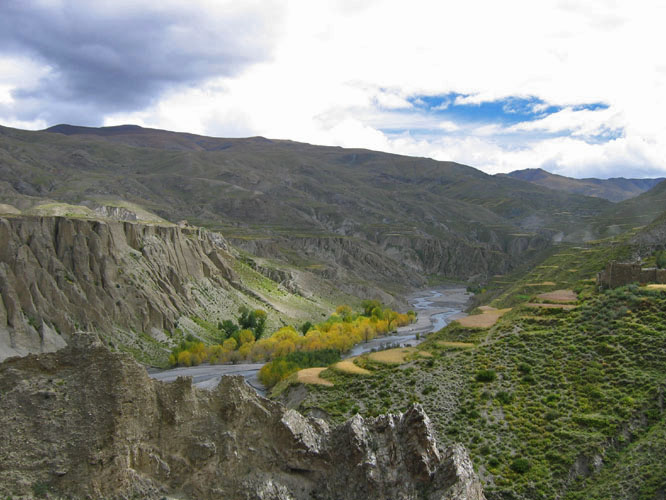
After descending into the Tsari valley everything changed. The
weather, the plants, the houses are all completely different
from the rest of Tibet.

The village of Chosum. This is one of the main settlements in
the Tsari region. In general there are few permanent settlements
in the area. It historically was a kind of Tibetan scared area
where people did not live.
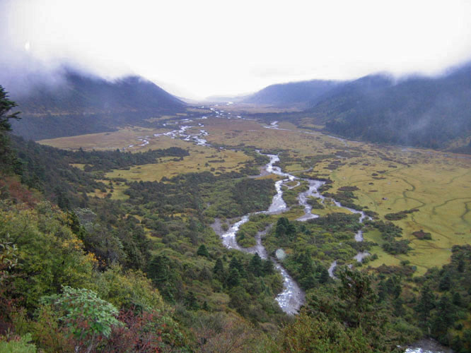
The Tsari River opens into a big open plain where nomads come
to graze their animals.
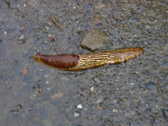
Slugs like this one are unheard of in the rest of Tibet.
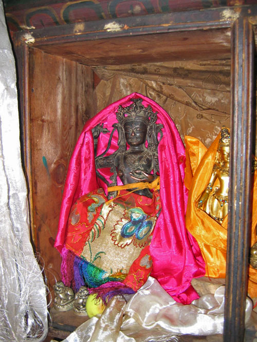
An very old Nepali style statue that some Tibetans had in their
home.
The village of Domzi is one of the few settlements in the Tsari
valley.
The dirt road to Yarap, the start of the walk around Tsari.
The start of the trail (and the mud) that circles around Tsari.
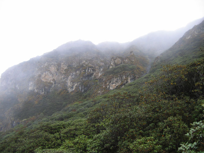
It was soon clear that is the not the Tibetan high altitude and
arid dessert that I had traveled in so many times before.
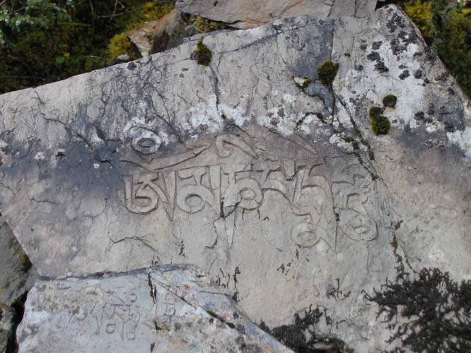
The mantra of the Buddha of compassion written on a stone found
near the trail side.
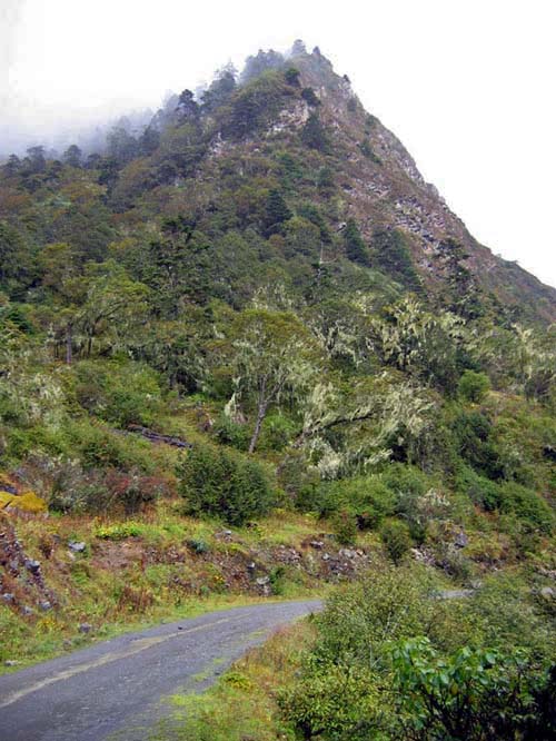
Climbing toward the Drolma La, the first big pass of the walk.
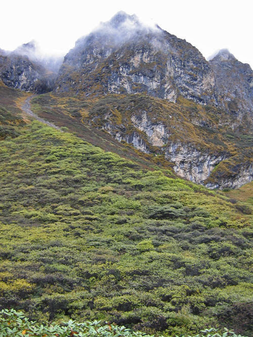
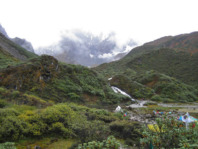
The hillsides are covered with endless varieties of plants.
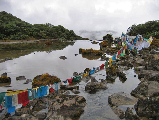
Tibetan prayer flags are found all over the circuit around Tsari.
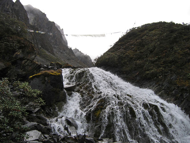
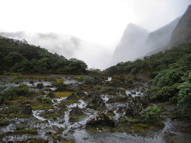
There is no shortage of water in the Tsari region.
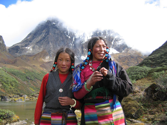
Two Tibetan woman from Northern Tibet that came to Tsari on pilgrimage.
Looking towards India from the beginning of the circuit around
Tsari.
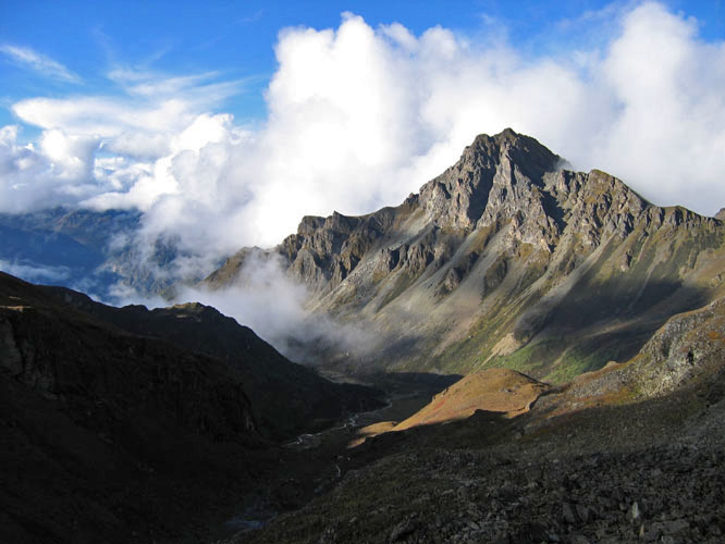
Ray at the top of the Drolma La pass.
Looking over the Drolma La.
Next set of photos
|
All images and text Copyright ©
2004 Ray Kreisel
|
|

|